
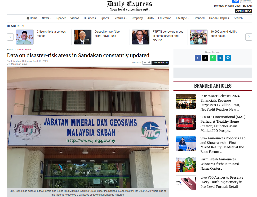
SANDAKAN: The Minerals and Geosciences Department of Malaysia (JMG) of the Ministry of Natural Resources and Environmental Sustainability (NRSES) has been constantly updating data on disaster-risk areas in this district since 2016 through the National Terrain and Slope Geospatial Information System (NaTSIS).Sabah JMG Director, Professional Geologist Frederick Francis Tating said it would also make it easier for agencies and stakeholders to know the status of slopes and ground conditions including those in Kundasang, Kota Kinabalu and Sandakan.“This is important so that those parties are aware of areas at risk of disasters such as collapsed land or slopes and earthquakes,” he said after officiating the Closing Ceremony of the National Terrain and Slope Geospatial Information System (NaTSIS) Engagement Programme with Sabah State Stakeholders 2025 and the NaTSIS Forum titled “National Geological Data: Towards Sustainable Development Planning and Disaster Management” at the Pavilion Hotel, here, on Thursday.
The forum also featured him as a panelist with the Deputy Dean of FSSA Universiti Malaysia Sabah, Dr Rodeano Roslee and the Deputy Director of the Malaysian Civil Defence Force (APM) Sabah State, Lt. Col. (PA) Erwin Kinsui.
