
Landscapes featuring stunning views and distinctive rock formations of significant scientific, aesthetic, heritage, historical, and cultural value are national treasures that must be recognized and protected. This geological diversity is a natural resource that has great potential to be developed into a major tourism product, and serve as a legacy for present and future generations..
Mapping of Active Faults and Earthquake Risk Areas Project
Active fault information, determination of Earthquake Benchmark (PAG) construction location and PAG movement records from mapping surveys are very useful in helping departments and local authorities implement and plan safer development, reducing property damage and loss of life.
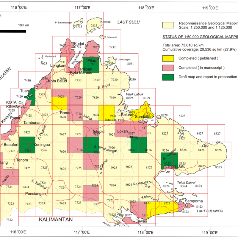
Systematic Geological Mapping
Systematic geological mapping is one of the core tasks of the Department of Mineral and Geoscience Malaysia (JMG). This activity is carried out systematically together with initial specific geochemical sampling employing methods and procedures set by the department. This in turn improves geological and mineral resources information and enhances expertise within the department..
Data and information from the systematic geological mapping can be harnessed not only by geologists but also by national, state and local governments, urban and rural planners, higher education institutions, policy makers and the general public.
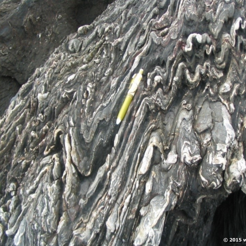
Geological Heritage Mapping
The Evaluation of Geopark Development Potential for the Preservation and Conservation of National Natural Resources project aims to ensure preservation of valuable natural treasures for the benefit of future generations. Through this, the concept of protected sites, geological monuments, geoparks and outstanding landscapes can be introduced to the public.