

Field achievement highlights
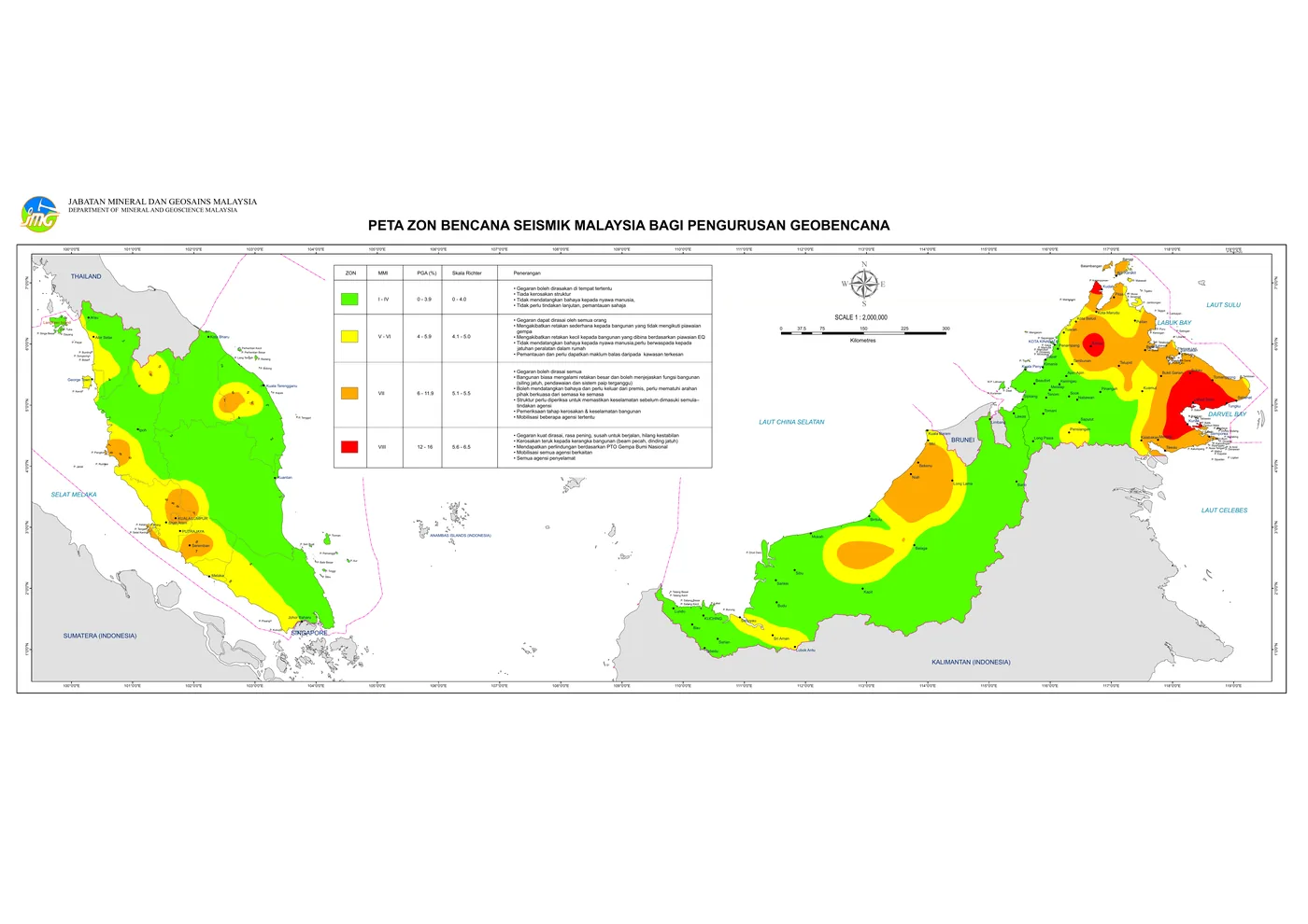
These highlights demonstrate JMG’s role in strengthening high-risk area safety through hazard mapping, site investigation, early warning systems, subsurface modelling and technical services that support authorities, communities and implementing agencies.
- Landslide hotspot mapping supports development planning in sensitive areas.
- Geological disaster investigation strengthens technical action after landslides, sinkholes and debris-flow events.
- Early warning systems and community engagement improve local preparedness in high-risk areas.
- NaTSIS and subsurface data support more accurate and integrated development decisions.