")
Berita dan aktiviti terkini
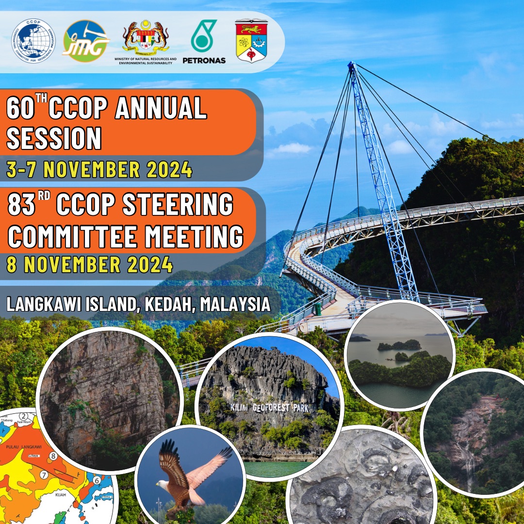
The 60th CCOP Annual Session and the 83rd CCOP Steering Committee Meeting 2024
In cooperation with the Government of Malaysia...

Arahan Pelaksanaan Permohonan Baru dan Pembaharuan Surat Kelulusan Skim Pengendalian (SKSPM) dan Surat Kelulusan Skim Kuari (SKSK) melalui Sistem BLESS
Jabatan telah melaksanakan permohonan SKSPM dan...


E-PERKHIDMATAN
Penggunaan ICT merupakan salah satu kaedah digunapakai bagi mempercepatkan proses kerja dan memudahkan orang awam berurusan dengan Jabatan. JMG terus menerus mengkaji prosedur-prosedur kerja untuk mengurangkan kerenah birokrasi, serta mencari kaedah-kaedah mengurangkan masa memproses dan menambah baik sistem penyampaian.
Selanjutnya
PERKHIDMATAN KAMI
Sebagai agensi tunggal kerajaan yang menerajui bidang mineral dan geosains dalam negara dengan visi iaitu Peneraju Pembangunan Mineral dan Geosains Menjelang 2025, JMG komited dalam menyediakan perkhidmatan berkepakaran tinggi kepada stakeholders dan pelanggan dalam bidang mineral dan geosains.
Selanjutnya
HUB INFORMASI
JMG selaku agensi peneraju pembangunan mineral dan geosains negara menyumbang pelbagai maklumat, perkhidmatan berkepakaran tinggi serta penyelidikan berkaitan mineral dan geosains kepada peningkatan daya saing ekonomi dan kualiti hidup. Capaian akses kepada maklumat ini akan membolehkan sektor awam dan swasta di negara ini membuat keputusan yang tepat dan mengambil tindakan sewajarnya dalam merancang dan melaksanakan aktiviti dan projek pembangunan.
MENGENAI JMG
Jabatan Mineral dan Geosains (JMG) memainkan peranan yang penting dalam aspek pembangunan mineral, pembangunan fizikal dan perkhidmatan geosains negara selaras dengan perkembangan pesat yang berlaku di dunia hari ini.
KENALI JMG